GPS Land Surveying
Property Line and Boundary Survey Services
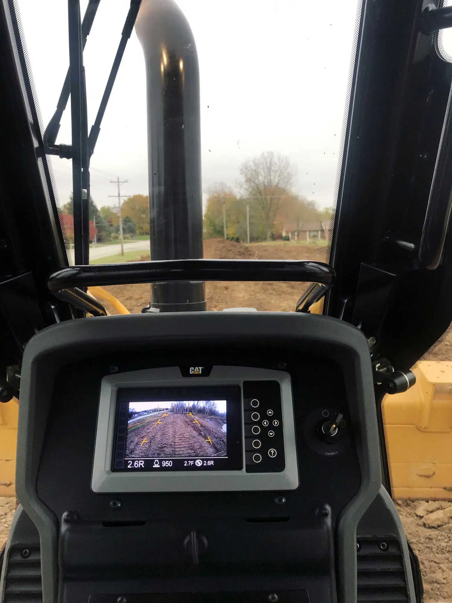
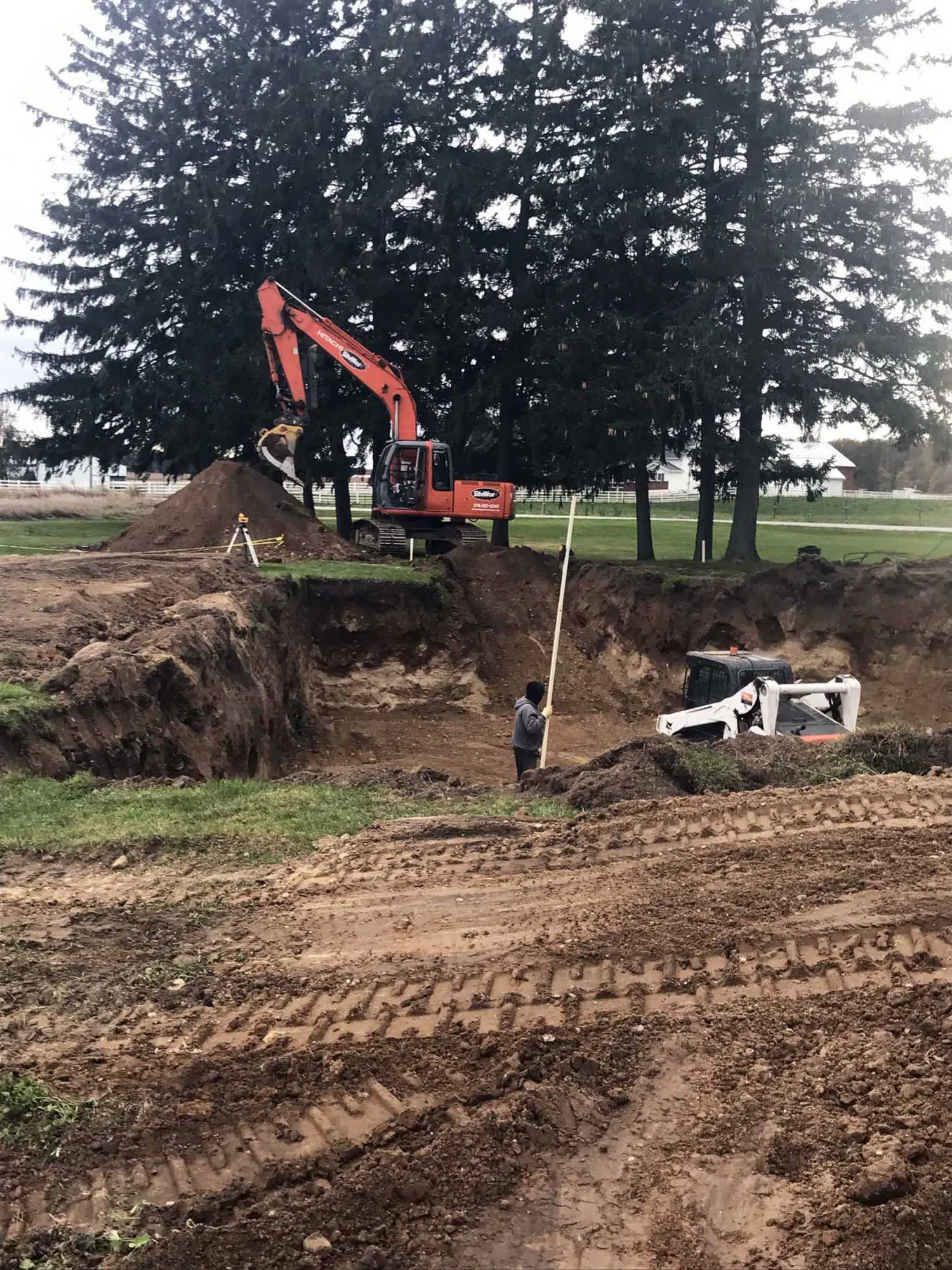
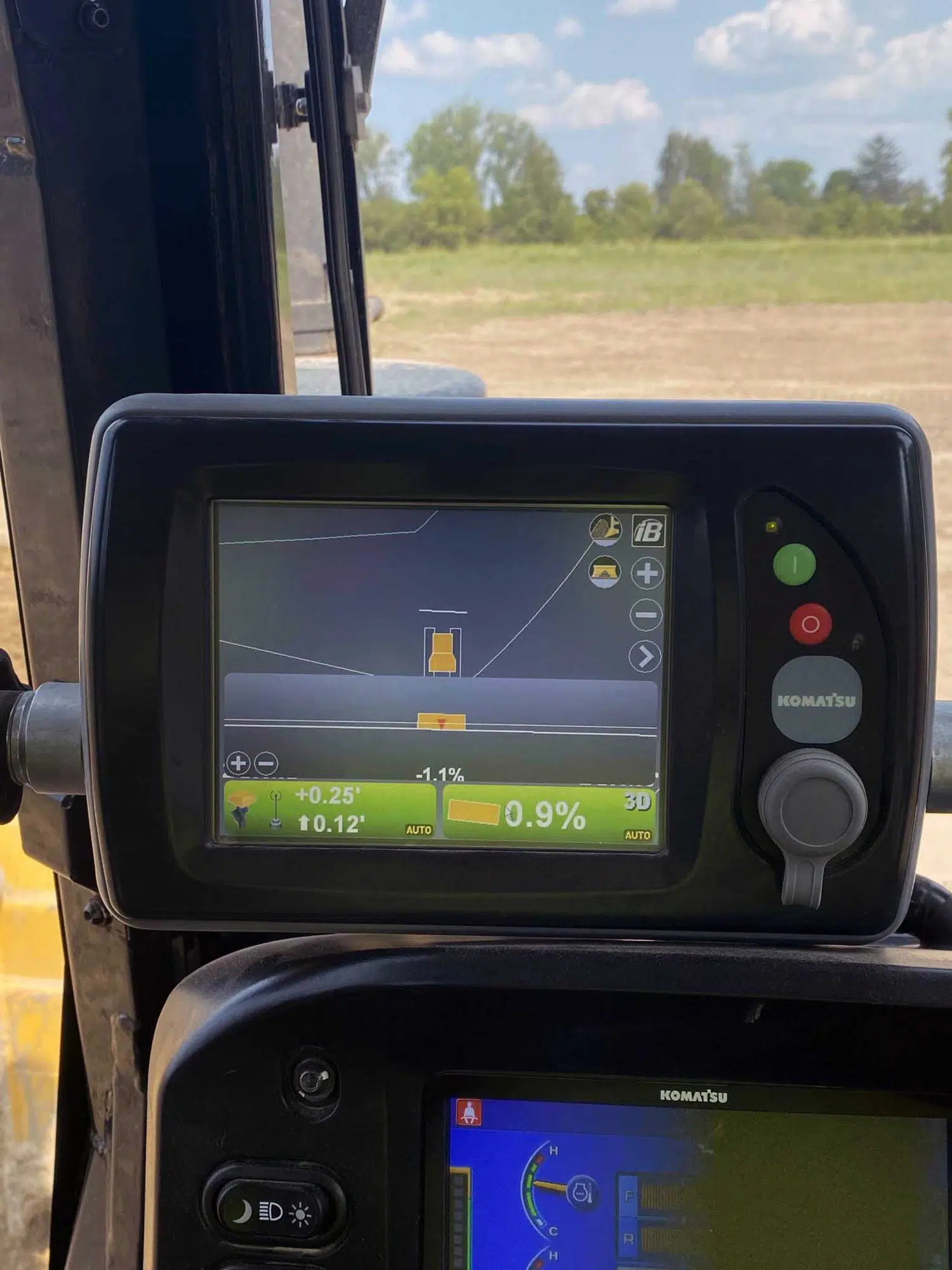
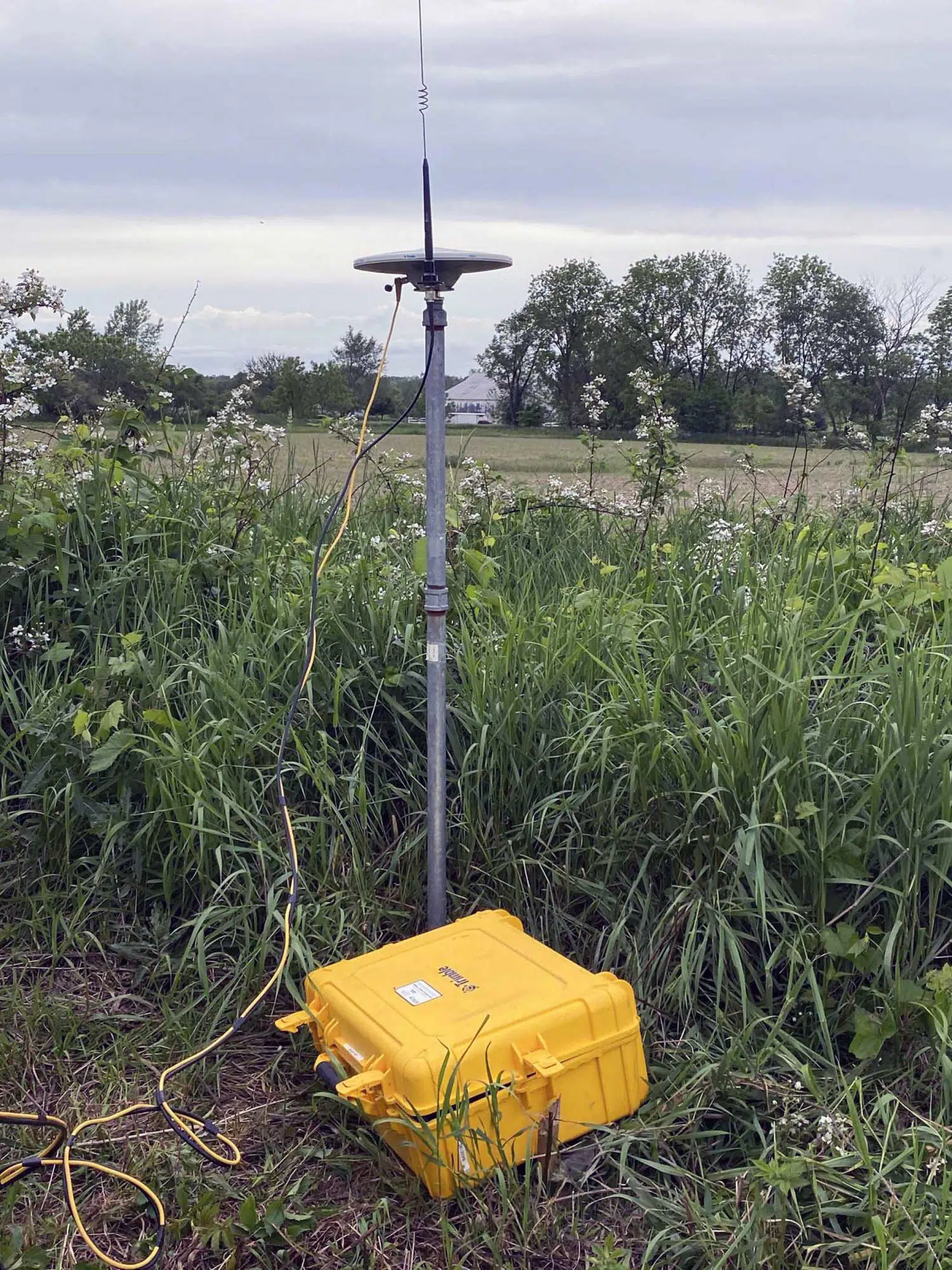
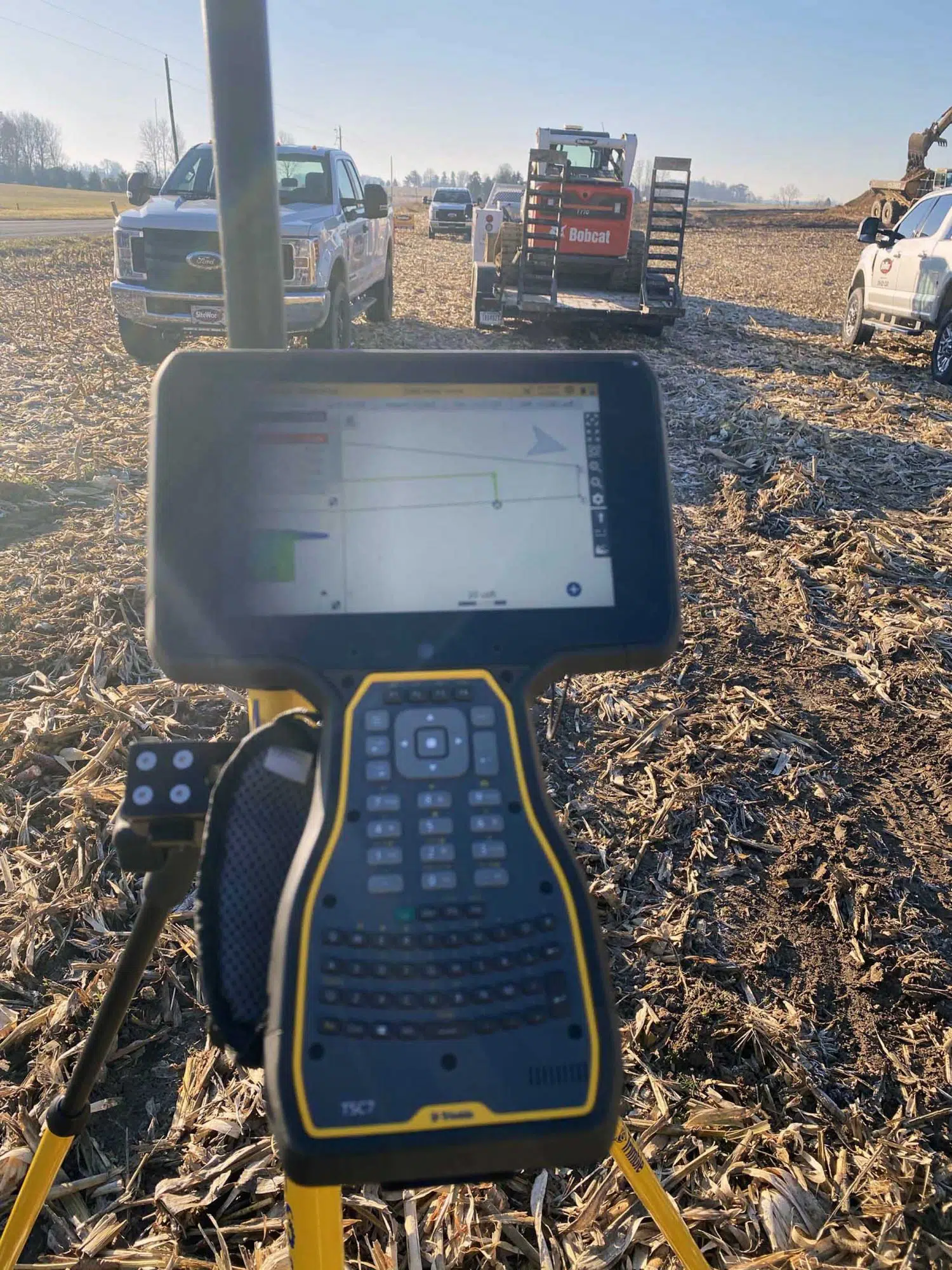
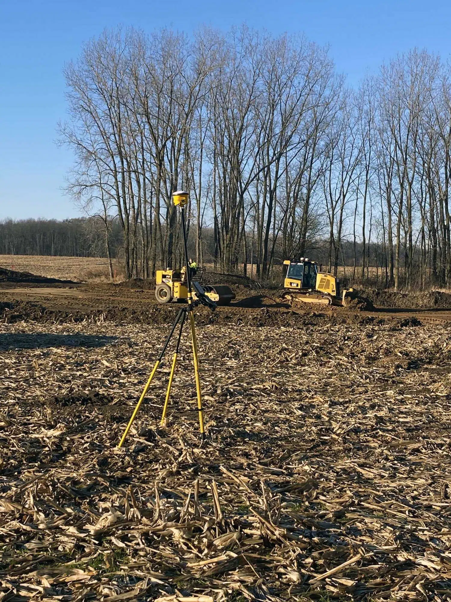
SiteWorx uses high-quality GPS land surveying technology, allowing us to draw up highly accurate schematics for any project you need to complete.
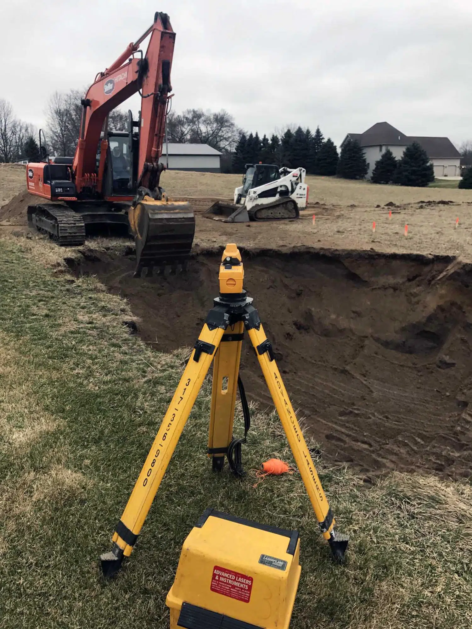
GPS technology enables us to accurately survey for boundary and property lines, ensuring your project area fits construction and permit regulations. Our operators are then able to calculate topographic maps for more convenient grading work and a more efficient, accurate final result.
Land Surveying Services
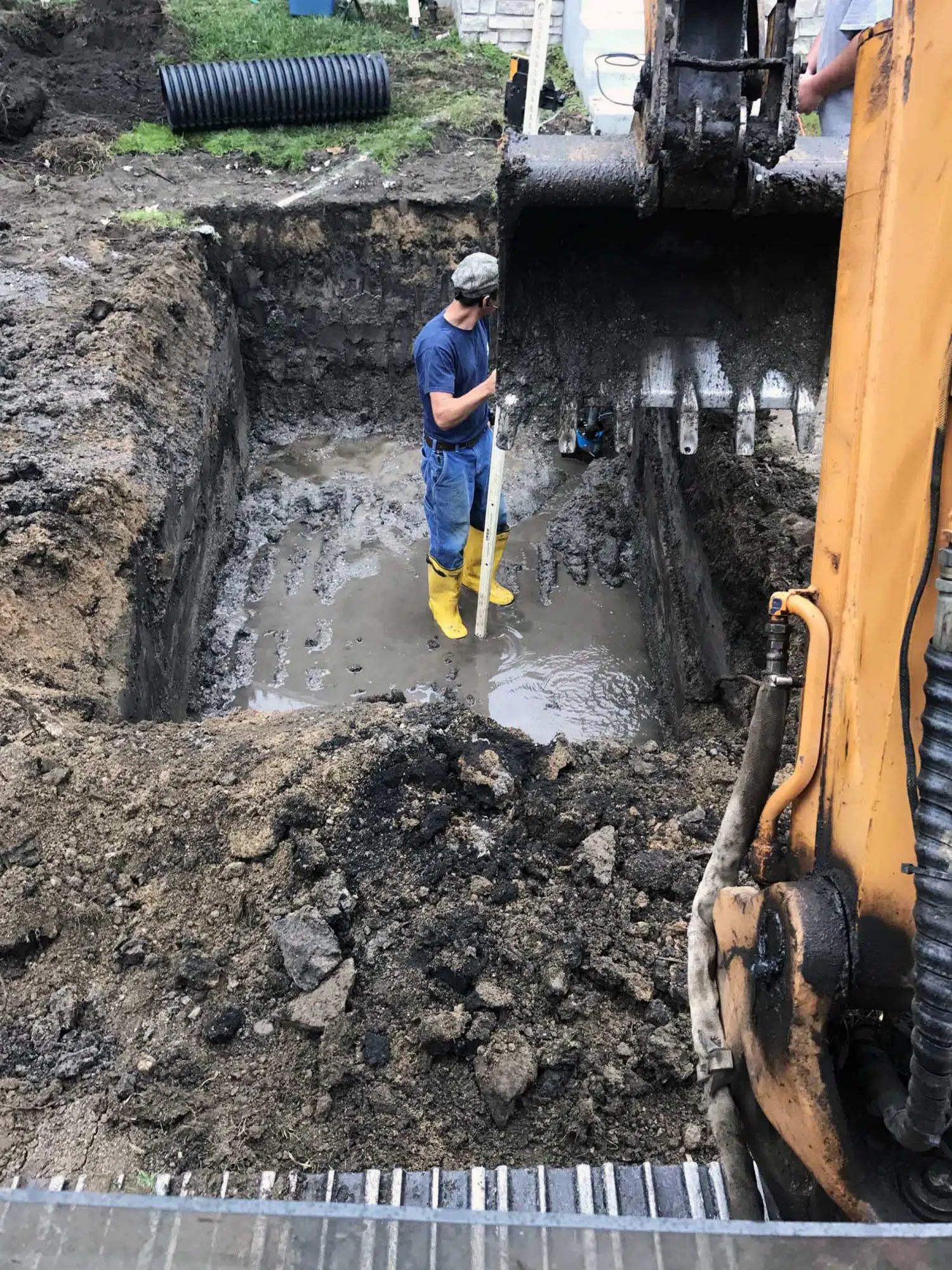
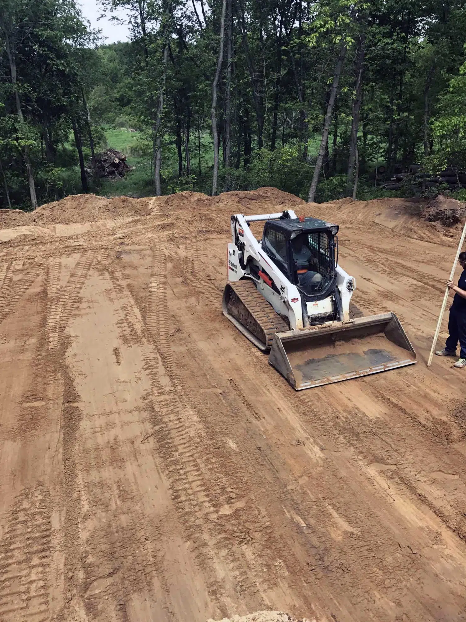
Our professionally licensed land surveying experts are qualified to help you complete construction layouts, identify land boundaries, identify pipelines and well locations, provide topographical surveys, and more.
We provide land surveying services for a variety of industries, both residential and commercial. All of our surveys are completed using state-of-the-art equipment to give our clients exceptionally accurate surveys.
Ready to Get Started?
Contact Us for a Free Jobsite Consultation Today
Shane S. — Facebook
Additional Information
Frequently Asked Questions
Is a GPS survey necessary?
Using the latest GPS technology ensures your jobsite’s land survey is as accurate as possible.
Are there different types of land surveys?
The survey services we provide are diverse as we work with both commercial and residential clients. If you aren’t sure what type of land survey your project needs, just give us a call and we can help you get started.
How much does a land survey cost?
The cost of a land survey for your jobsite depends on the type of survey you need, how recent the land has been surveyed and what type of terrain needs to be surveyed. Some surveys are more detailed than others, and that can effect the price.